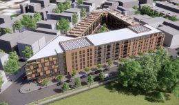
Philly YIMBY’s First Anniversary Countdown Looks at Entry Number 30: Francisville
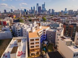
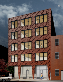
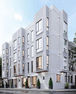
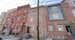
In 1682, William Penn’s surveyor general Thomas Holme laid out a rectangular street plan for the new planned city of Philadelphia. Today, the area covered by the original plan comprises Center City, yet its grid continued to extend in all directions until it either hit a natural boundary, or was shelved in the postwar period when gridded city plans fell out of favor. As such, most of the city’s central neighborhoods follow the rectilinear plan, with a few notable exceptions. One among these is Francisville, a neighborhood situated west of Broad Street in Lower North Philadelphia. Here, a small yet clearly noticeable group of streets run at a roughly 45-degree angle to the main grid, as they follow Ridge Avenue and predate the grid’s extent this far north. The neighborhood fell on hard times in the postwar period, yet today it is awash in new construction as low- and mid-rise buildings are rising in every direction. The construction boom translated to 28 category tags over the course of the past year, landing Francisville at the 30th place on Philly YIMBY’s First Anniversary Countdown, where we track article categories we tagged most frequently over the course of the past year. Today we visit the most notable developments that we have covered in the neighborhood during this period.

